Central West Queensland
See Your Property
Without Driving It.
Mobile drone services across Central West Queensland. Check fences, water points, and property layout in minutes — not hours in the ute.
On-property work
Common Property Checks
The everyday jobs that eat up your day in the ute — done from above in a fraction of the time.
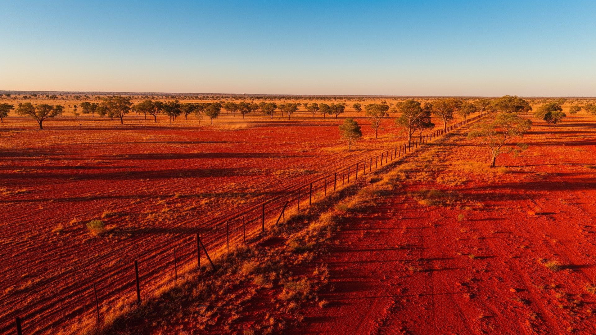
Fence Inspections
Walk kilometres of boundary and internal fences from the air. Spot downed wire, fallen timber, and breaches without saddling up or fuelling the bike.
Water Point Checks
Confirm troughs are full and tanks are holding. A quick flyover replaces a half-day round trip across the run.
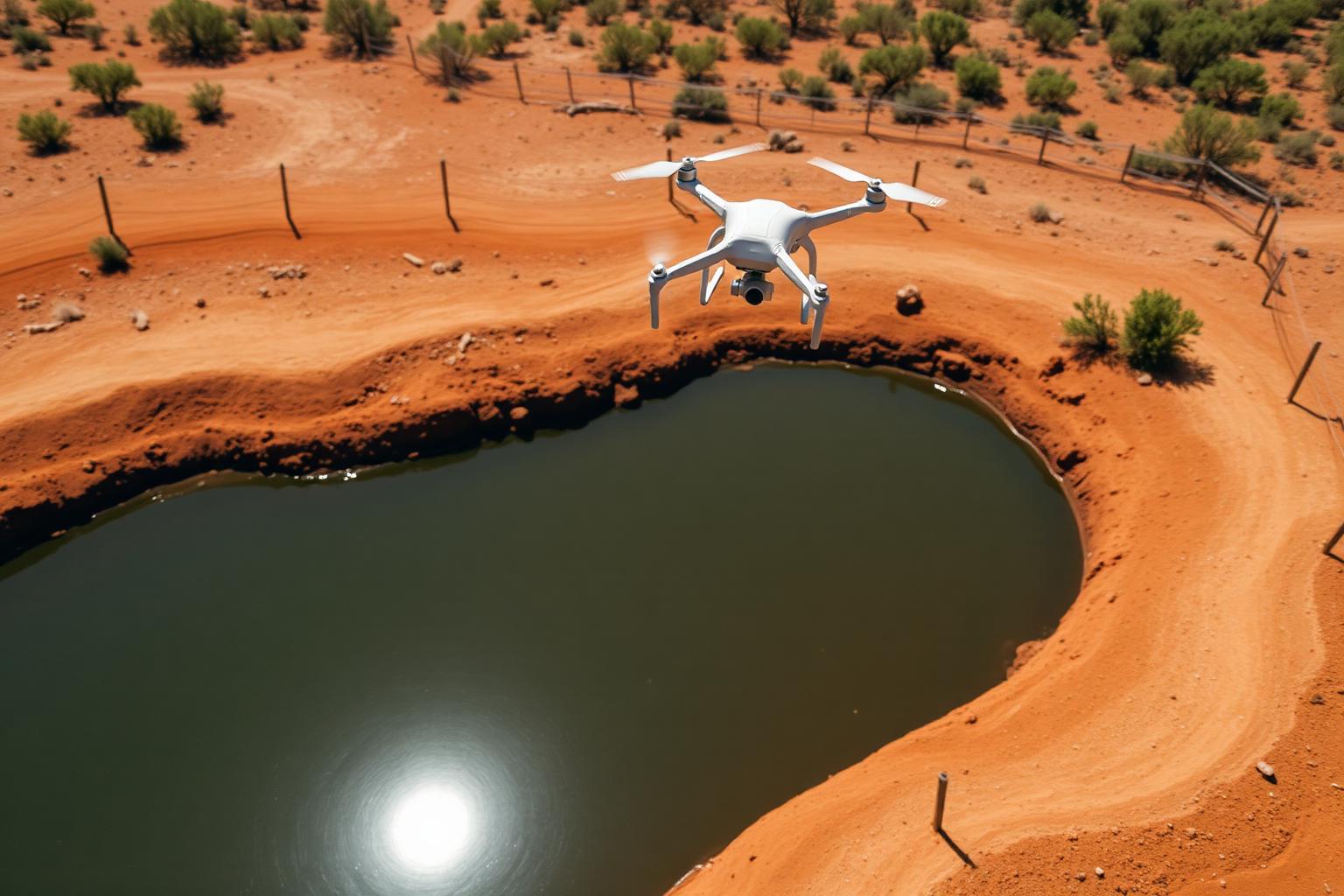
Dam Monitoring
Track water levels, bank condition, and stock access in dry times. Get a clear picture before deciding where to shift mob.
Track Inspections
Check station tracks, grids, and creek crossings after rain — know what's passable before you head out.
Infrastructure Checks
Yards, sheds, silos, and roofs inspected from above. Find damage early without climbing or driving out.
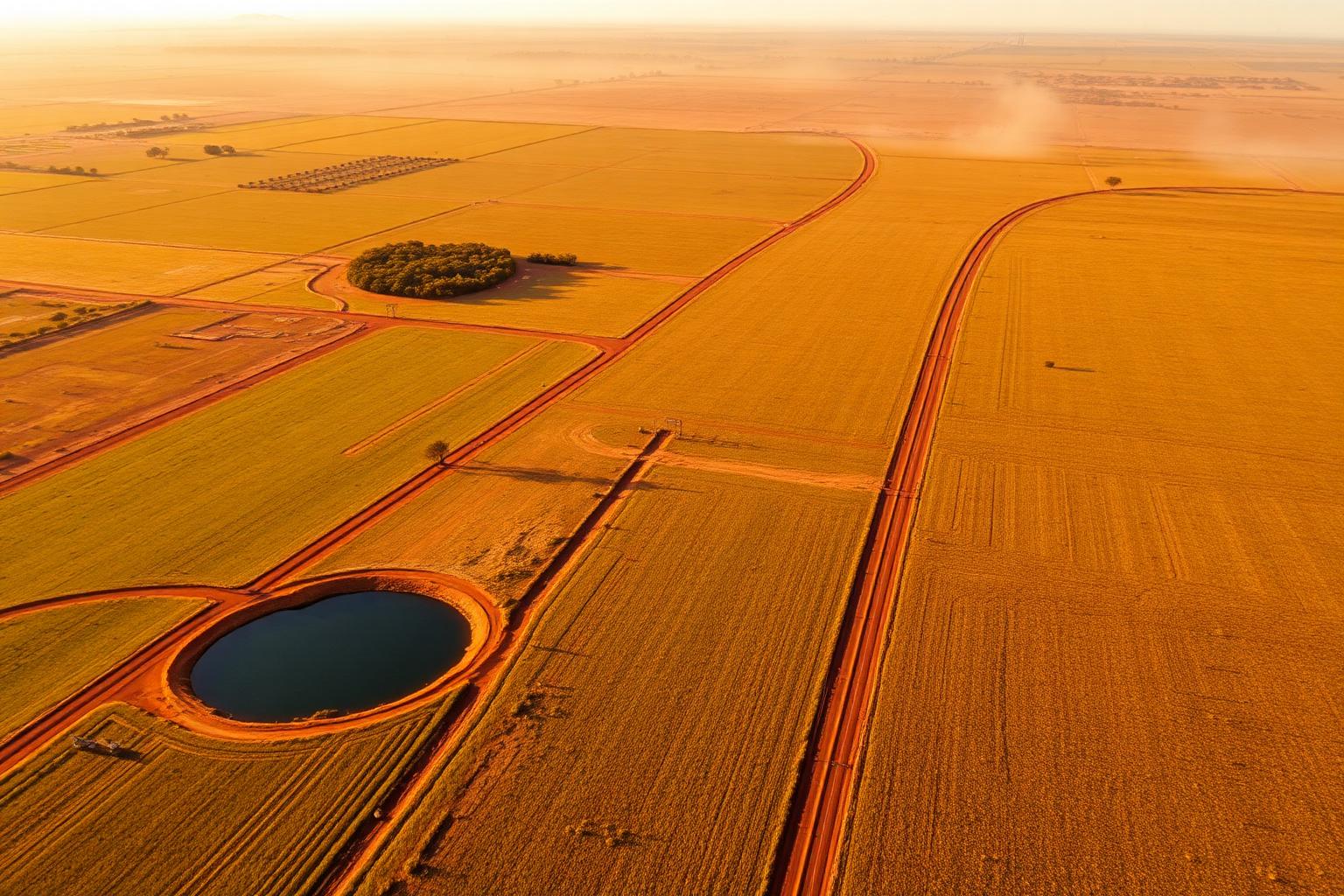
Property Mapping
A clean aerial layout of paddocks, waters, and infrastructure — handy for planning, sale prep, or station records.
Practical aerial work
Why Use Drone Services?
Managing large properties takes time, fuel, and effort. Drone services help you quickly inspect fences, water points, tracks, and infrastructure without spending hours driving.
Save Time
Cover ground in minutes that would take a full day in the ute.
Reduce Fuel Costs
Fewer kilometres, less wear on vehicles, lower running costs.
Better Visibility
See country from above — spot what's hidden from the ground.
Faster Property Checks
Quick aerial sweeps of fences, water, yards, and tracks.
What we do
Services
Practical aerial work for rural and remote properties.
Property Overviews
A clear aerial view of your property layout, paddocks, infrastructure, and access points.
Fence & Infrastructure Checks
Inspect long fence lines, yards, and tracks without spending hours driving.
Water & Dam Monitoring
Quickly check dams, troughs, and water access points.
Sale Preparation
Show your property properly with clean aerial imagery and video.
General Aerial Imaging
High-quality aerial imagery for personal, business, and record-keeping use.
Local operator
Local. Reliable.
Built for the Bush.
Based in Central West Queensland, Barcoo Drones understands the realities of managing large rural properties. This is a practical service designed to save time and provide clear aerial visibility — not just take photos.
- We come to you
- Built for rural and remote conditions
- Practical, not just photography
- Fast turnaround
- Local knowledge of the outback
Where we work
Service Area
Servicing Isisford, Longreach, and surrounding Central West Queensland properties.
We travel to you.
Need a Better Look at Your Property?
Get in touch — we'll talk through what you need and give you a straight answer.